Abstract Geography: Cities
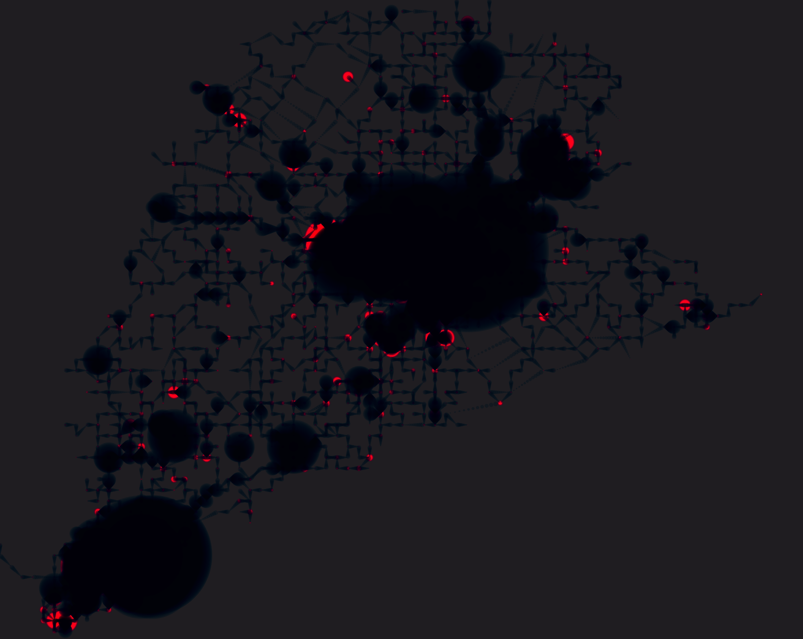
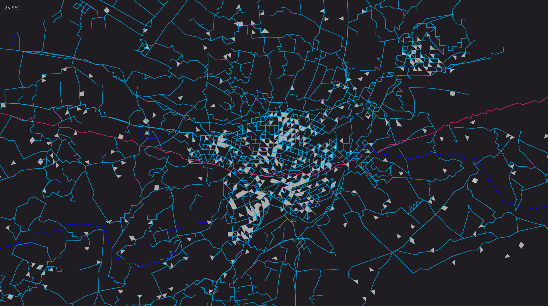
With this experiment I wanted to create a poster generator using Open Street Map data (Overpass Turbo API) as the data source.
Within the application you can set a bounding box; e.g. an bounding box of the city of Amsterdam, the application will fetch the data and transform (depending on the parameters you’ve set) this data into an abstract visualization of this city.
More to come…